Geospatial Data Processing Solutions
We help companies with fleets of LiDAR surveying equipment process data quickly, accurately and reproducibly, shifting the focus from post-processing to extracting value.
Featured Work
See how we’re helping customers process geospatial data to go from questions to answers with more speed, accuracy and automation.
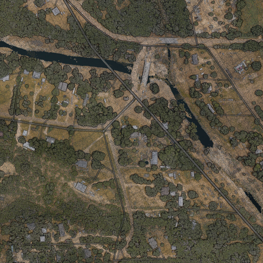
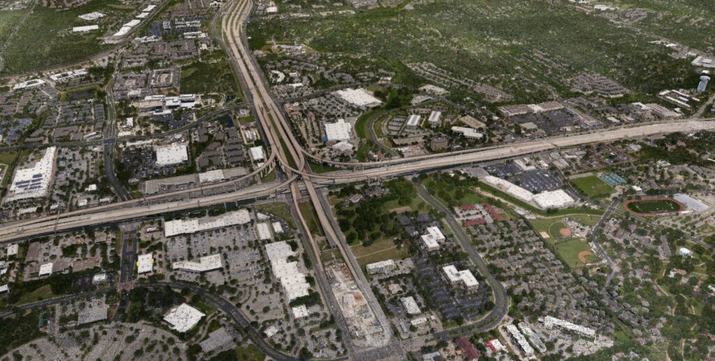
Disaster Management
When processing survey data of areas affected by extreme weather events, the clock starts ticking when the wheels touch the ground. View an example aerial survey of areas affected by the Texas floods, processed within hours after landing.
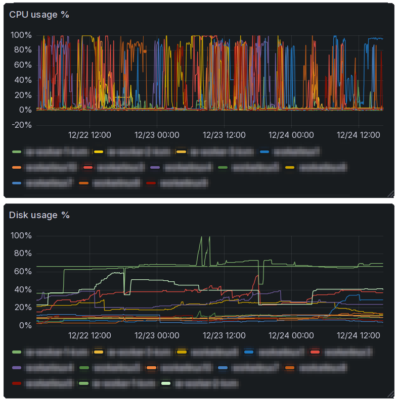
Automated Processing Pipelines
Learn more about how we can help set up a scalable infrastructure to match your data processing needs.
We’re hiring
We’re just getting started and need your help; check out our careers page!